Nature and romance - from Lohr to Gemünden
Embark on a unique hike along the Spessart Trail. The tour takes you through lush green forests, along clear streams and past forest lakes. Travel by train now!
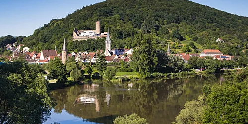
Lohr am Main
7 h
22 km


Did you already know? The fairy tale of Snow White is said to have its historical origins in Lohr. It is easy to imagine that this could be true on this hike through the densely wooded and mountainous landscape.
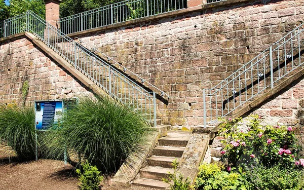
The trail first leads through the old town centre of Lohr to the castle with the Spessart Museum. Here, at least on Fridays to Sundays, you can take a leap back in time and get in the mood for the trail ahead.
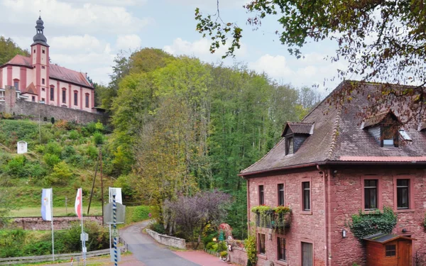
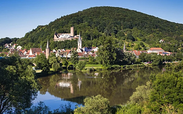
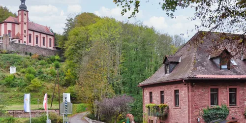
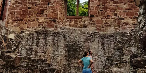
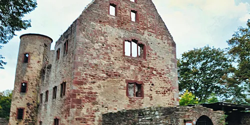
Once you have left Lohr via the Old Main Bridge, the route takes you uphill and downhill through lush green forests, nature reserves, along clear streams and past small forest lakes. Again and again you walk through open landscapes, past fields, pastures and orchards. You follow an old Way of the Cross to the Mariabuchen pilgrimage church, beautifully situated on a hillside. The old mill in the Ziegelbach valley and the Schönrain ruins are also romantic. From here you have a wonderful view of the Main. The descents are steep in places. Of course, you will also pass inns where you can stop for refreshments. The Spessart Trail ends in the three-river town of Gemünden, where the Sinn and Saale rivers flow into the Main.
A hiking tour for nature lovers, culture vultures and explorers
Start and end station
Start station
Bahnhof Lohr
4 tour steps
22 km / 7 Stunden
End station
Bahnhof Gemünden
Our tip: Please make sure to check your train connection and the expected capacity before you start your journey.
Schedule
Tour starts on Bahnhof Lohr
Direction
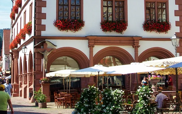
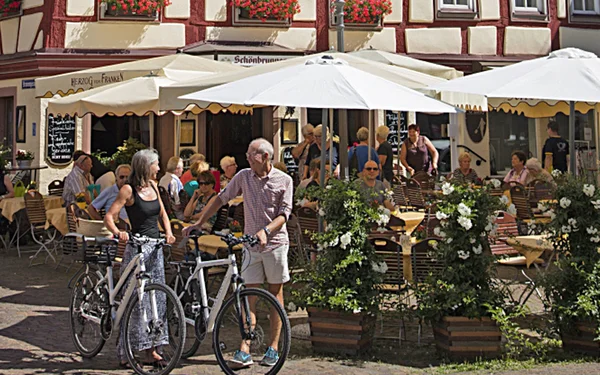
From Lohr railway station, go straight ahead on the small asphalt cycle path across the car park and continue along Walter-Senger-Straße. You cross the Nägelsee sports centre and reach Jahnstraße. Keep right here and continue straight ahead until you reach Lohrtorstraße. You are now in the old town centre of Lohr with its historic half-timbered architecture.
Walk straight on along Ottenhofstraße to Lohr Castle, passing the old town hall and the tourist information centre. The latter is located in the historic Kellereischeune, a half-timbered house from the 14th century. A good opportunity to stock up on information for the hike.
And that's not all: You will come across various bakeries along the way, such as Pappert's Bakery. The Pappert family has a baking tradition dating back to the 16th century.
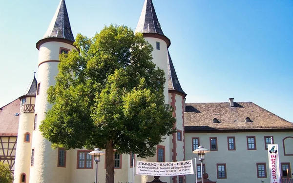
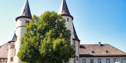
Now you are standing in front of Lohr Castle, a truly fairytale-like building with its towers.
Direction
Direction
Direction