On the loop trail in the Altmühltal valley
Enjoy the Franconian nature and way of life. The Altmühltal Panorama Trail spoils you with sweeping views on your hike. Treat yourself to Franconian beer and explore the healing springs.
Treuchtlingen
4 h
19 km
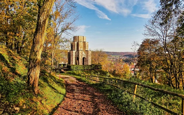
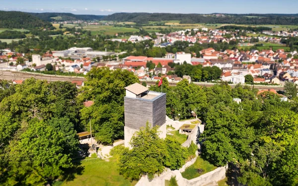
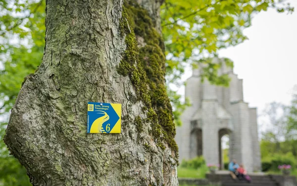
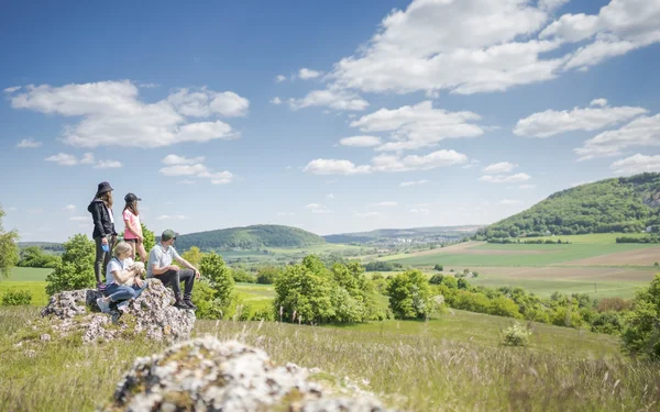

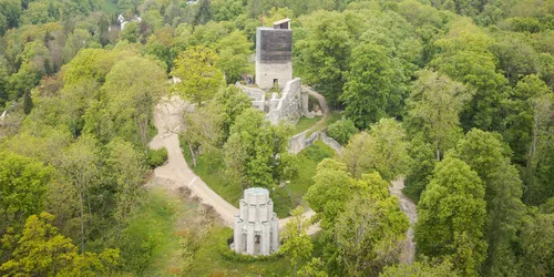
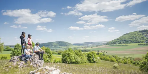
While Loop 6 of the Altmühltal Panorama Trail spoils you with sweeping views, you immerse yourself in the history of this landscape and the people of Franconia. It's all about huge events and medieval architecture.
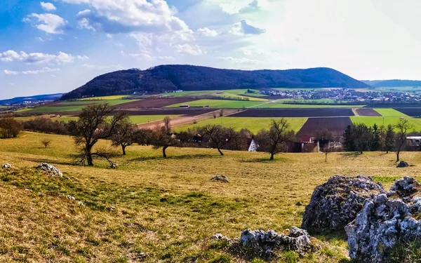
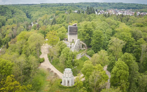
15 million years ago, a meteorite struck nearby and hurled rocks onto the surrounding mountains. On another mountain, people once put stones together to form a castle, which has now towered over the small town of Treuchtlingen as a ruin for half a millennium. Last but not least, this peaceful nature hike will take you to an early medieval cultural monument unlike any other: Discover the Fossa Carolina, the first attempt to cross the European watershed and create a connection between the Main and Danube rivers.
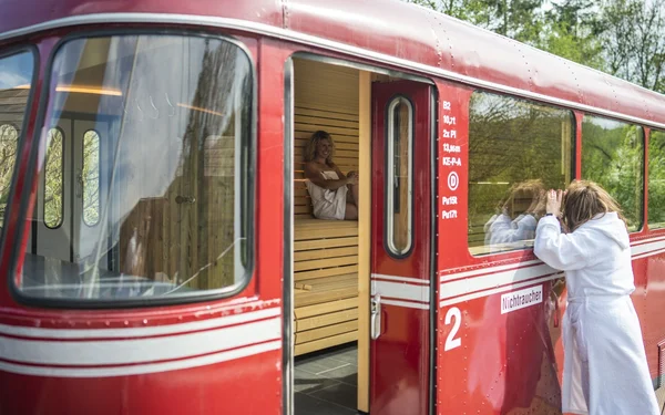
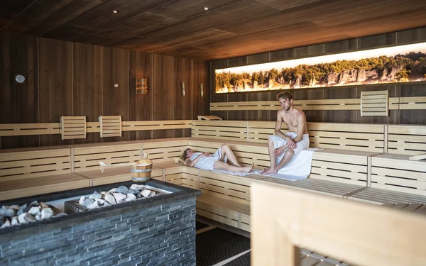
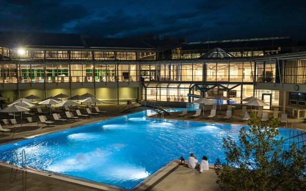
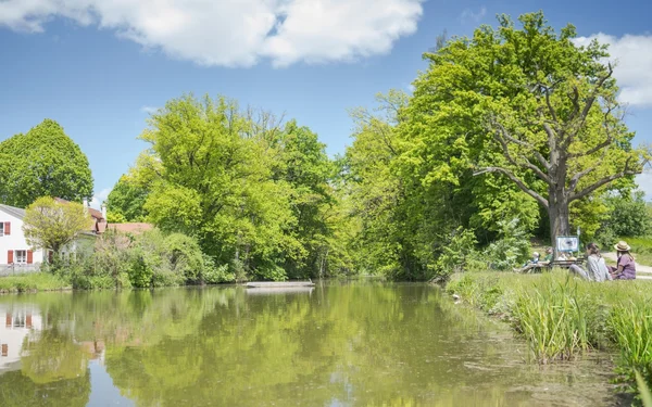
Enjoy Franconian beer along the way and round off the day with a dip in the soothing waters of the Altmühltherme thermal baths.
A hiking tour for families, nature lovers, culture enthusiasts, explorers and connoisseurs
Start and end station
Start station
Bahnhof Treuchtlingen
4 tour steps
19 km / 4 Stunden
End station
Bahnhof Treuchtlingen
Our tip: Please make sure to check your train connection and the expected capacity before you start your journey.
Schedule
Tour starts on Bahnhof Treuchtlingen
Direction
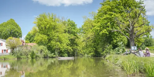
The tour starts southwards from Treuchtlingen railway station. Turn right into Bahnhofstraße and continue straight ahead into Bürgermeister-Döbler-Allee. Cross the bridge and pass the Altmühltherme thermal baths before turning left into Kästleinsmühlstraße.
By the way, if you want to end this hiking tour with a visit to the Altmühltherme thermal baths, you don't have to carry your swimming costume with you the whole way. You can hand them in at the thermal baths now, and it is also possible to hire them.
You pass the spa gardens and come to a turning. In front of you is the Nagelberg. Walk up the slope and then keep left until you reach the war cemetery.
Am Nagelberg
91757
Treuchtlingen
Direction
Karlsgraben 7
91757
Treuchtlingen
Direction
Direction
Am Schlossberg
91757
Treuchtlingen