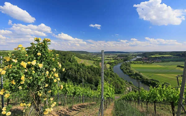
The steep slopes in the Stettener Stein
From Karlstadt through the Franconian wine country: discover the bird trail, the terroir f "Wine and Main" and enjoy spectacular views over the vineyards of the Stettener Stein and the Main valley.
Karlstadt (Main)
7 h
21 km
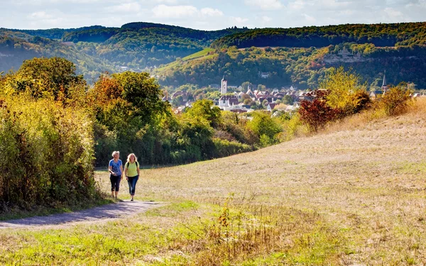


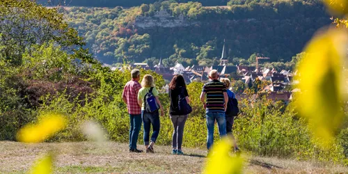
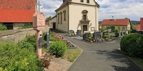
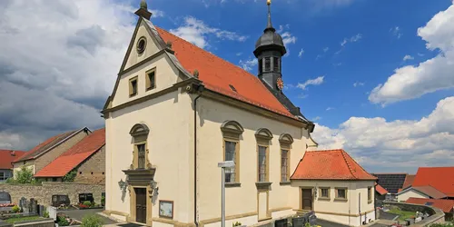
This challenging hike takes you through the countryside around Karlstadt and the Saupurzel to Stetten and Heßlar. Take a day to explore the birdlife, extraordinary nature reserves and winegrowing villages.
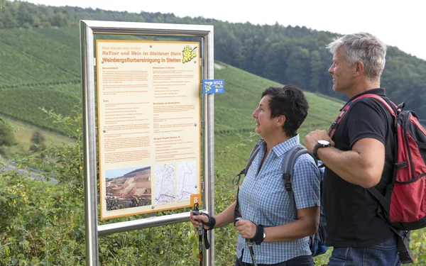
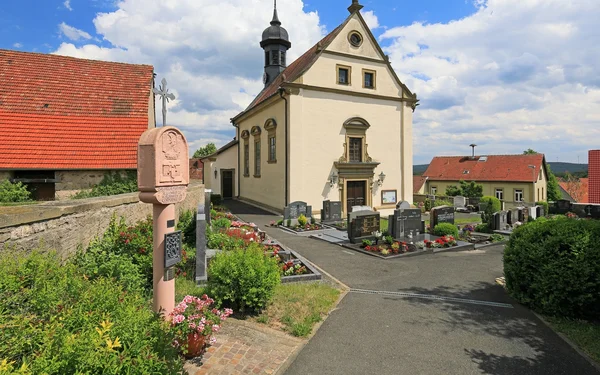
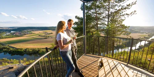
A highlight of the hike is the terroir f "Wine and Main" in the middle of the sun-drenched steep slope of the Stettener Stein vineyard, one of the oldest vineyards in Franconian wine country. Situated high above the Main, typical Franconian grape variety wines thrive on steep shell limestone soils that slope down to the river.
A wide panoramic view over the Franconian wine country and the Main awaits you.
A hiking tour for families, nature lovers and explorers
Start and end station
Start station
Bahnhof Karlstadt (Main)
4 tour steps
21 km / 7 Stunden
End station
Bahnhof Karlstadt (Main)
Our tip: Please make sure to check your train connection and the expected capacity before you start your journey.
Schedule
Tour starts on Bahnhof Karlstadt (Main)
Direction
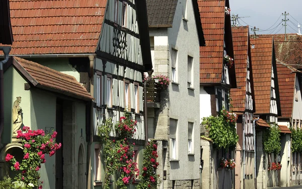
The tour starts at the railway station in Karlstadt, or "Karscht" as the locals affectionately call the town.
Turn left out of the subway and you will find the signs for hiking trail K4, which you will follow for a large part of the tour.
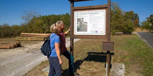
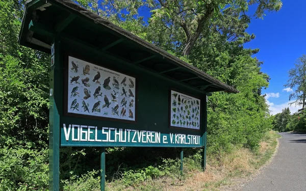
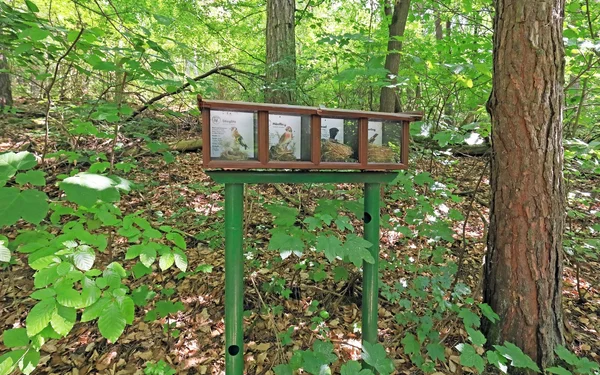
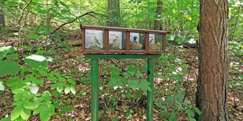
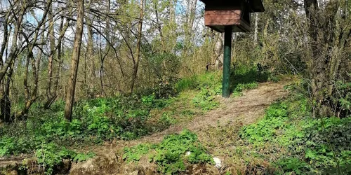
First turn right, then left onto Stationsweg, which will soon take you into the heart of nature. You will soon reach the bird trail.
Direction
Direction
Bühler Straße 2
97753
Heßlar
Direction