From the Altmühlsee to the cabbage village of Heglau
Off to the Franconian Lake District by train! This hike combines nature enjoyment, birdwatching and the Franconian way of life. A dip in the cool water will re-energise you. What are you waiting for?
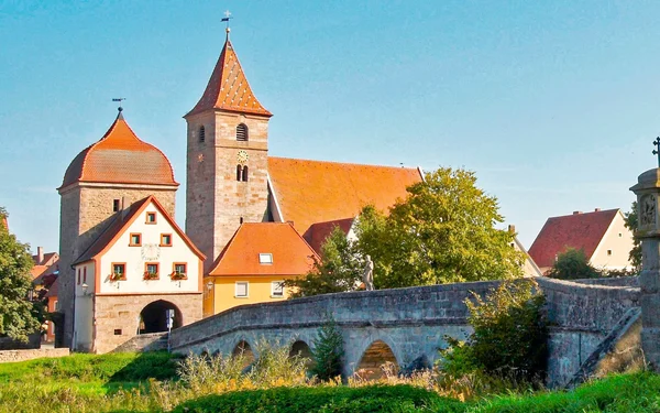
Gunzenhausen
8 h
29 km

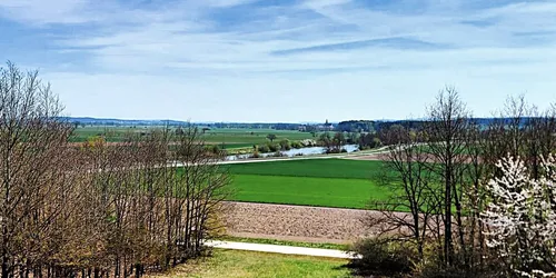
"The Lakeland" is the paradise route for hikers in the Franconian Lake District. This tour highlights a particularly beautiful section of the multi-day hike, which is 146 kilometres long in total. Glistening waterscapes, shady woodlands and species-rich nature reserves alternate with flat plains and expansive views. This day tour for ambitious hikers is around 29 kilometres long.
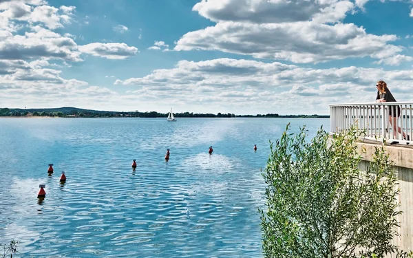
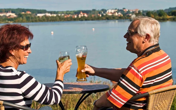
The Altmühlsee lake has it all right at the start: bathing beaches, nature conservation zones and excursion boat trips. Along the way, you will visit places with historical flair such as Gunzenhausen and Ornbau. Look forward to enjoying nature, birdwatching and the Franconian way of life on the "Seenländer".
A hiking tour for nature lovers and explorers
Start and end station
Start station
Bahnhof Gunzenhausen
4 tour steps
29 km / 8 Stunden
End station
Bahnhof Muhr am See
Our tip: Please make sure to check your train connection and the expected capacity before you start your journey.
Schedule
Tour starts on Bahnhof Gunzenhausen
Direction
From the railway station in Gunzenhausen, first follow the signs towards Altmühlsee. The official signposting for the "Seenländer" begins shortly before the bridge over the main road.
Water and boats accompany you on the first part of this stage. You turn westwards and are soon at the outlet structure. A good place to pause for a moment before the big hike begins. With a depth of 4 to 5 metres, the structure is the deepest part of the Altmühlsee. From this vantage point you have a beautiful view of the 25 metre high water fountain.
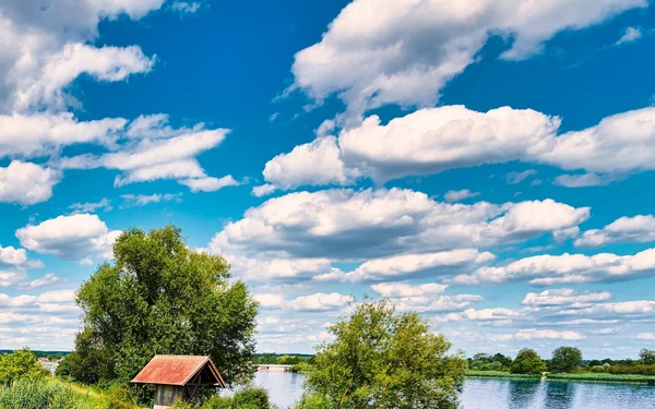
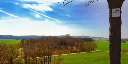
The route continues. Past the shepherd's island, "Der Seenländer" follows the western shore of the Altmühlsee to the Wald lake centre. The route is mostly on level ground through shady woodland, along the edge of the forest and through meadows and fields.
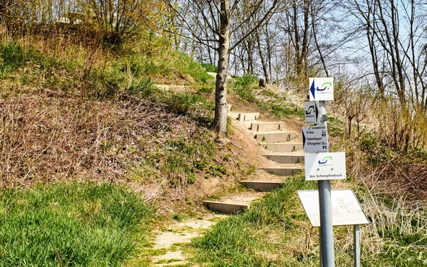
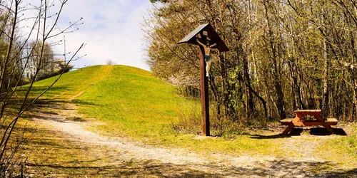
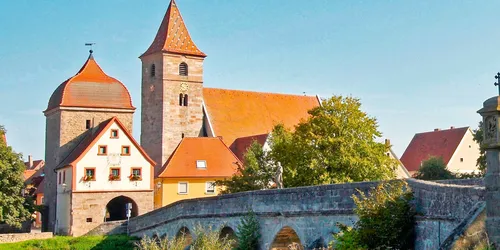
The few villages close to the route are hardly touched by the path. With the exception of Gothendorf. You cross the village and have the opportunity to take a look at the pretty village chapel. After Gothendorf, you reach the Altmühlsee-Zuleiter. But you won't be following it for long, because "Monte Gero" is waiting for you. Don't worry, you will be able to climb it without mountain boots.
Direction
Direction
Direction
Schlossstraße 2-4
91735
Muhr am See